

Most people think of Sindh as a land of river plains, deserts and a long, hot summer. Yet on its western edge, where the province meets Balochistan, the ground rises into the bare ridges of the Kirthar range. Near the top of these ridges sits Gorakh Hill Station, the only developed hill station in the province and the highest place in Sindh that visitors can reach by road.
In this article (28)
- Gorakh Hill Station at a Glance
- Where Gorakh Hill Sits in the Kirthar Range
- The Plateau Shared by Sindh and Balochistan
- Origins of the Name Gorakh and Its Many Theories
- Early History, Pilgrimage and Rock Art Nearby
- Development Under the Gorakh Hills Authority
- Floods, Damaged Roads and Repeated Repairs
- Findings of the Auditor General Reports
- Climate of Gorakh Hill Through the Seasons
- Rare Snowfall on the Highest Plateau of Sindh
- Wildlife and Plant Life of the Kirthar Mountains
- How to Reach Gorakh Hill Station From Karachi
- The Mountain Road From Wahi Pandhi to the Top
- Approximate Distances and Travel Times Table
- Things to See and Do on the Hilltop
- Zero Point and Benazir Viewpoint
- Bonfires, Stargazing and Night Stays
- Stay, Food and Facilities Available for Visitors
- Best Time to Visit and Practical Travel Advice
- A Practical Packing Checklist for Gorakh
- Responsible Tourism and the Future of Gorakh
- Frequently Asked Questions About Gorakh Hill
- How high is Gorakh Hill Station?
- Can an ordinary car reach the top of Gorakh?
- Does it snow at Gorakh Hill every year?
- Which authority manages Gorakh Hill Station?
- Is Gorakh Hill Station suitable for a day trip?
- References and Further Reading
Local newspapers often call it the Murree of Sindh, because its air stays cool when the plains below are among the hottest places in Pakistan. In winter it can even turn white with snow. I have leaned on audit files, old Dawn reports and the notes of travellers who drove up themselves. You will find the geography, the story behind the name, the slow history of its development, its weather, its animals, and the nuts and bolts of getting there.
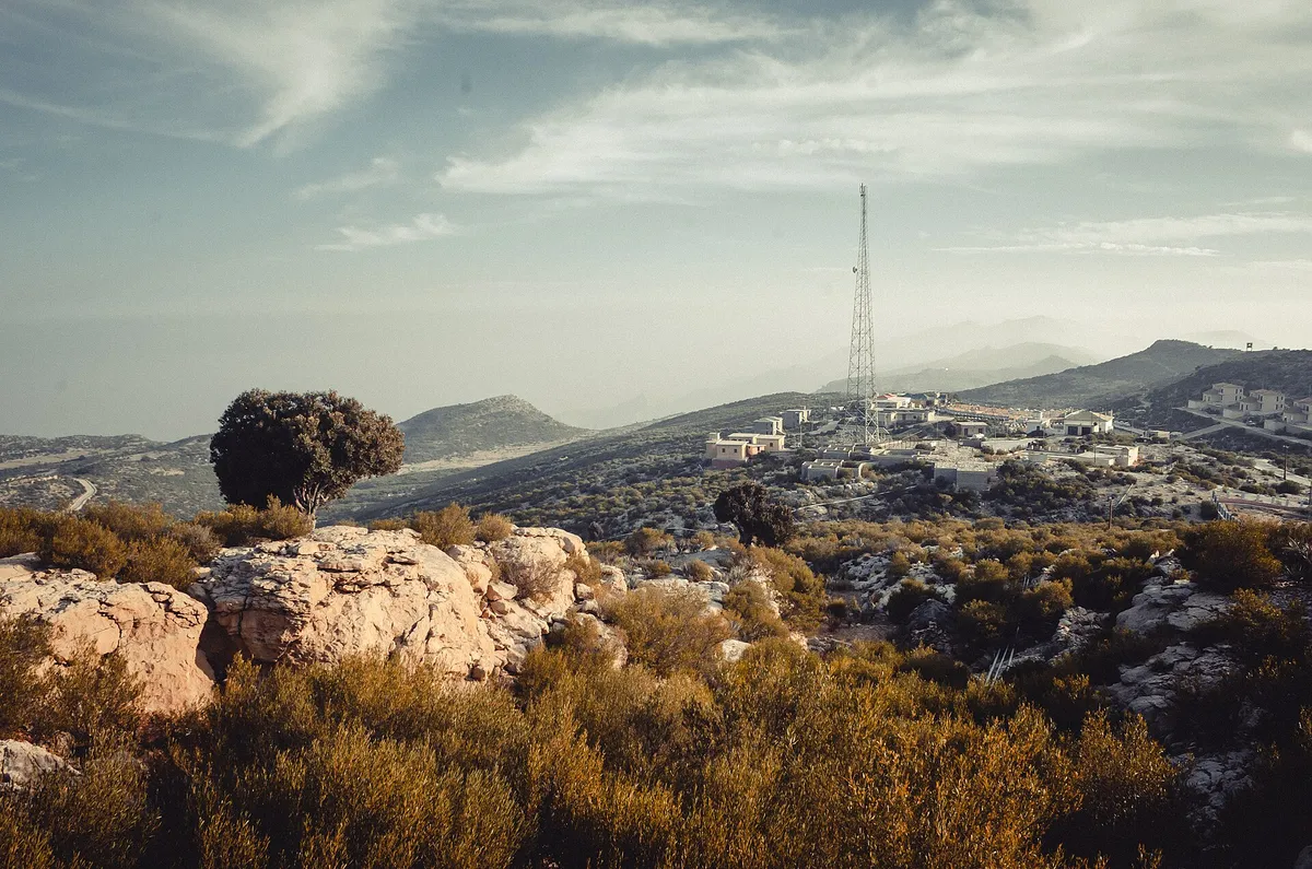
Gorakh Hill Station at a Glance
The figures below come from official and press sources. A few numbers do not agree from one source to the next. Where that happens, the gap is pointed out further down.
| Feature | Details |
|---|---|
| Location | Johi Taluka, Dadu District, Sindh |
| Mountain range | Kirthar Mountains on the Sindh and Balochistan border |
| Elevation | About 5,688 ft (1,734 m) in most sources |
| Plateau area | Roughly 2,400 to 2,500 acres |
| Distance from Dadu city | About 94 km to the northwest |
| Distance from Karachi | About 423 to 450 km, around 8 hours by road |
| Last village before the climb | Wahi Pandhi, about 54 km from the top |
| Managing body | Gorakh Hills Development Authority (GHDA) |
| Winter weather | Below freezing at night, with occasional snow |
Sources for these figures include the special audit report of the Auditor General of Pakistan, the Sindh Tourism Development Corporation and reporting by Dawn.
Where Gorakh Hill Sits in the Kirthar Range
The Kirthar Mountains run for about 310 km, from the Mula River in Balochistan south to Cape Monze on the Arabian Sea coast. They form a natural wall along the western side of the Indus valley. According to the geological summary of the range, the upper parts are mostly limestone, while lower and southern parts contain shale from the Middle Eocene period.
Gorakh lies in the northern part of this range, in Johi Taluka of Dadu District. The Auditor General report places it at an elevation of 5,689 ft (1,734 m), about 94 km northwest of Dadu. Some tourism pages, including the STDC page, give a much higher figure of 7,684 ft. That number does not match the survey based figure used by most official and press sources, so this article uses 5,688 ft as the working value.
The hill station is not the highest point of the whole range. Barugh Hill, a few miles to the northwest, is higher, and so are several peaks further north in Balochistan. What makes Gorakh special is that it is a broad, fairly flat plateau that can hold roads, buildings and visitors.
The Plateau Shared by Sindh and Balochistan
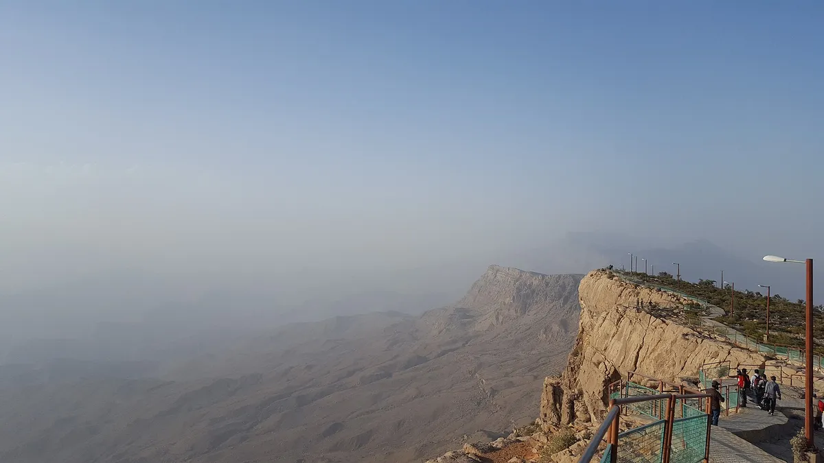
The top of Gorakh is a plateau rather than a sharp peak. A 2012 Dawn report described it as covering about 2,400 acres, of which 1,340 acres fall in Sindh and 1,060 acres in Balochistan. Other official documents round this up to 2,500 acres.
Because the plateau crosses a provincial line, land ownership has been a long running issue. The Auditor General study notes that a summary for allotting land to the development authority was sent to the Chief Minister in 2012, and the matter was still unresolved at the time of the review.
Origins of the Name Gorakh and Its Many Theories
There is no single agreed explanation for the name. Several theories appear in the literature, and none has been proven.
- Gorakhnath: The most common view links the name to Gorakhnath, a medieval yogi of the Nath tradition associated with the worship of Shiva. People in the area say he once walked these hills.
- A Sanskrit meaning: Some writers read it as difficult or tangled. Anyone who has driven the last stretch will find that fitting. Others give the meaning as the herding of sheep, cows and goats.
- Brahui and Balochi words: Others trace it to gurgh, the Brahui word for wolf. Wolves did once roam these ridges.
- Other local readings: The Auditor General study also records ideas that link the name to a bird, to a herb, and to a Balochi word for the reddish colour of the western slope.
These views are recorded by the Auditor General special study and by Youlin Magazine. None of them can be proved, so they are best read as local lore.
Early History, Pilgrimage and Rock Art Nearby
Written history of the summit itself is thin. Older residents speak of Hindu pilgrims who once came here in the name of Gorakhnath. Some say a small Shiva temple stood up here. No digging has been done on top, though, and no one has dated any ruins. For now it is a story told by elders.
The wider region has a deep past. The plains to the east hold Indus Valley sites such as Mohenjo Daro, and the hills to the south hold the huge walls of Ranikot Fort. Gorakh belongs to the same landscape, even if its own early record is mostly unwritten.
Development Under the Gorakh Hills Authority
Modern interest in Gorakh as a tourist site began in the late twentieth century. Youlin Magazine dates its launch as a hill station to 1989.
According to the Auditor General special audit, the Gorakh Hills Development Authority was first set up in 1995 through an ordinance. The Sindh Assembly later passed it as an Act in September 2008, and the Act was amended in 2013. Its stated purpose is the planning, development and management of the hill area in a sustainable and eco friendly way.
Official records show several large schemes over the years:
- A first phase development project, approved in 1998 and revised in 2008, which included the road from Wahi Pandhi.
- A scheme for electricity supply from the Wahi Pandhi feeder, a rest house, bridges and approaches.
- A summer resort scheme approved in 2005 and revised in 2015, with an approved cost of about Rs 2.54 billion.
The authority also drew up a master plan that listed parks, walking tracks, chairlifts, a helipad, a bus stand, motels and other buildings. Many items on that list remain plans.
Floods, Damaged Roads and Repeated Repairs
The mountain road has been the biggest problem. A foundation stone near Khawal Luk shows that work on the 54 km road from Wahi Pandhi began in February 2004, as noted in the Auditor General study.
Floods in 2010 badly damaged the roads and bridges. Flash floods struck again in 2011, and in 2012 monsoon landslides damaged the road near Khawal Luk. Dawn reported that the hill station was cut off for visitors that winter, and that trees planted on the summit by the forest department had been washed away.
Findings of the Auditor General Reports
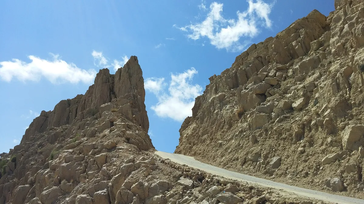
Two federal audit documents look closely at the authority. The study team drove the road from Wahi Pandhi themselves. They found it still risky, and at several bends the retaining walls had simply collapsed. Their point was blunt. Huts and rest houses on top mean little if families cannot get up safely.
A second audit covering 2014 to 2022 showed that some money was paid out for incomplete jobs. Rs 2.54 billion was approved for the summer resort project but only around Rs 499 million had been spent at the time of the audit. These are just issues raised by the auditors and not court rulings. However they do help to show why Gorakh is very similar every year.
Climate of Gorakh Hill Through the Seasons
Gorakh stays cool because of its altitude, even in June. Dadu often gets cited as one of the hottest places in the country due to temperatures being above 40 degrees. If you drive up the road for two or three hours however, you will probably need a shawl!
Winters can get very cold with night time temperatures dropping below freezing. Summers rarely get above 20°C. The Pakistan High Commission in Sri Lanka reports that around 120 mm of rain falls per annum. However Wikipedia states that it does get closer to 300 mm. As there is no long term weather data for the top of the mountain it is hard to say which one is correct.
| Season | Typical conditions | What visitors notice |
|---|---|---|
| Summer (May to August) | Mild days, cool nights | A welcome escape from the heat of the plains |
| Monsoon spells | Short, heavy showers | Green slopes, but a higher risk of road damage |
| Autumn (September to November) | Clear skies, cooler nights | Good views and stable weather |
| Winter (December to February) | Freezing nights, strong winds | Frost, and in some years snow |
Rare Snowfall on the Highest Plateau of Sindh
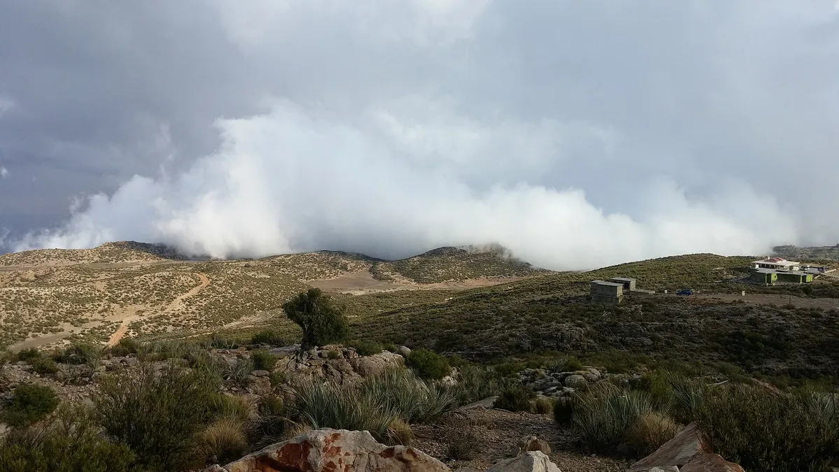
Gorakh got a lot of press attention due to snowfall. In December 2012 Dawn reported that there was a light snowfall. This was at a time when most people were unable to travel due to the roads being damaged. In January 2023 however, The Nation reported that snow fell for the first time in two years. They also noted the temperature dropped to minus 8°C.
A third report came from Aaj News in January 2026. They stated that the temperature was hovering around minus 2°C. They oddly reported that it was the first time snow had fallen in 13 years. Clearly these two reports can’t both be true. All we know is that snowfall is a rare occurrence and nobody seems to keep a precise record.
Wildlife and Plant Life of the Kirthar Mountains
Whilst wildlife can be hard to spot from the window of your jeep there is plenty to see. The Kirthar hills are some of the most diverse areas for animal life in southern Pakistan. The southern tip forms the Kirthar National Park with around 3,087 square km of protected area. This was declared in 1974.
This area is home to a variety of animals, from the wild goats (Sindh ibex) to the urial sheep, chinkara gazelle, striped hyena, wolf and even the occasional leopard. There are over 165 species of birds recorded in this area. Whilst Gorakh is far north of the park boundary, the cliffs and scrublands are very similar.
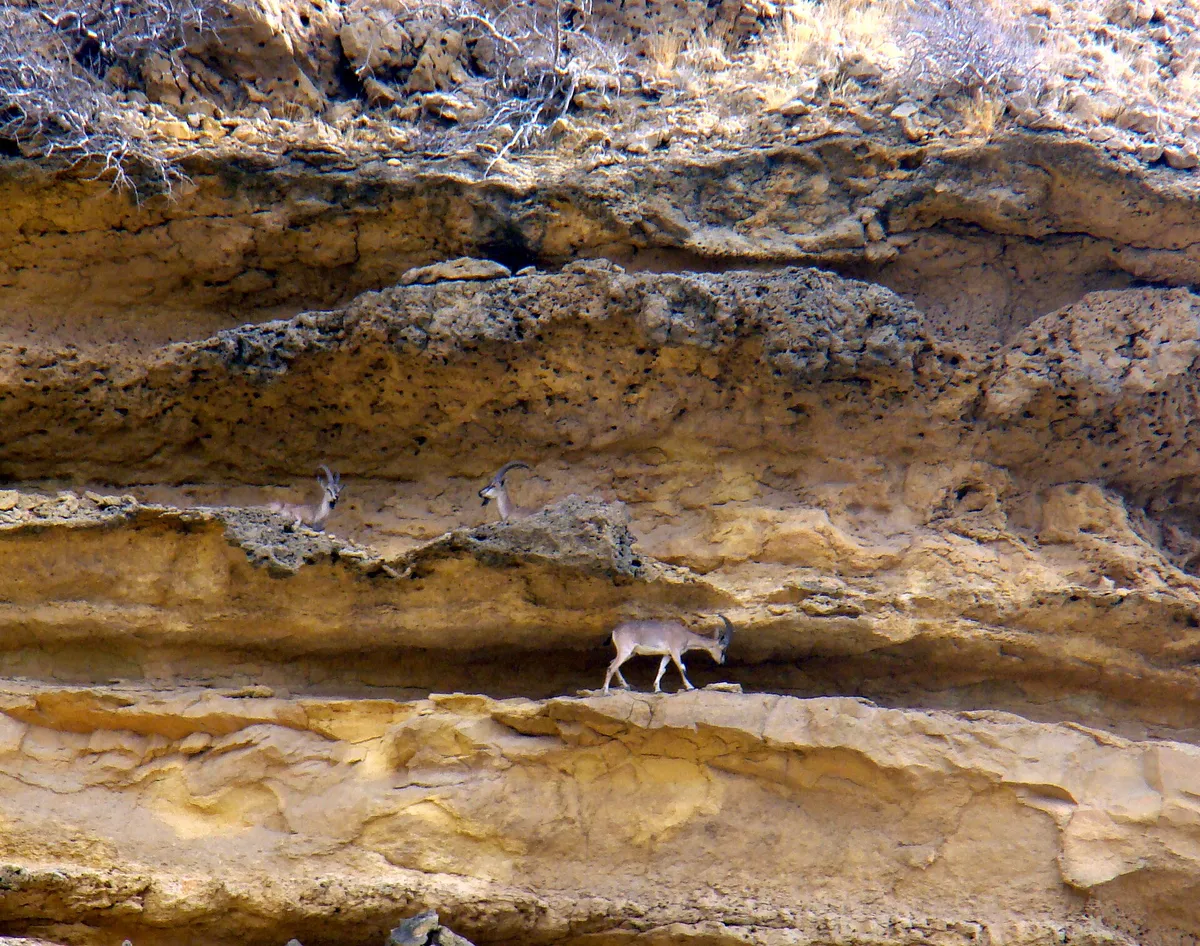
On the plateau itself you will mainly find hardy shrubs, clumps of grass and a few lone trees. If there is a good downpour of rain however, this will change dramatically in a matter of days. The slopes turn a lush green and herders will take their goats and cattle up the slope to graze. During the winter months there are small birds such as finches and sparrows, as noted by Youlin Magazine.
Within the park, rangers from the Sindh Wildlife Department will be on patrol to stop poachers. Outside of the park however, the animals rely on well behaved visitors. If you spot an ibex on a ledge, stop and enjoy the view.
How to Reach Gorakh Hill Station From Karachi
There is no flight or train option available. All visitors will travel by road. There are two parts to the journey.
The first part is straightforward. Take the motorway from Karachi to Jamshoro and continue north on the Indus Highway past Sehwan Sharif towards Dadu and Johi. This road is fully tarred. From Johi there is a smaller road leading to Wahi Pandhi village. This is the end of the plains.
Qasim Moini of Dawn made the trip in 2014. From the toll plaza on the Superhighway it took his group about eight hours, tea breaks included, to cover roughly 423 km. Roads have been washed out and patched many times since. Ask locally before you leave.
The Mountain Road From Wahi Pandhi to the Top
The final 54 km from Wahi Pandhi is the hardest part. It climbs through steep cuts, hairpin bends and dry stream beds. The Auditor General study lists a visitor shade and a lavatory block planned at the 35 km point, a natural halfway stop on the climb.
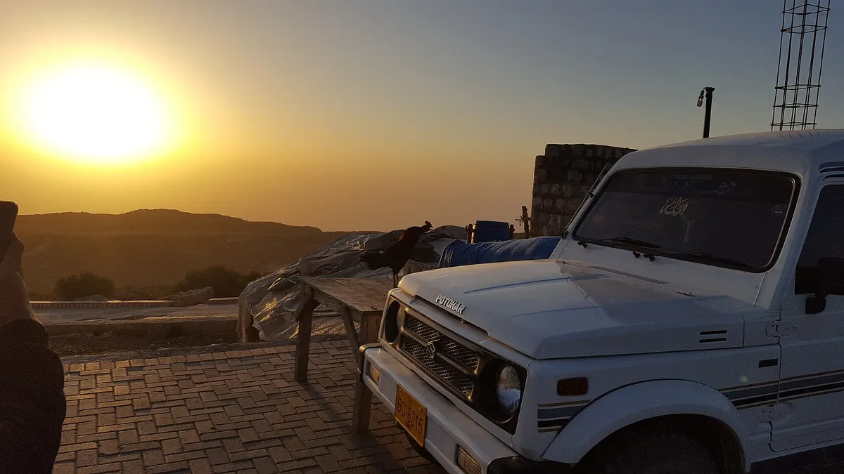
Both Dawn and Youlin Magazine describe this stretch as suitable only for four wheel drive vehicles with skilled drivers. Ordinary cars are not advised, and many visitors hire a jeep with a local driver for this stage.
Approximate Distances and Travel Times Table
| Route section | Approximate distance | Approximate time |
|---|---|---|
| Karachi to Sehwan Sharif | About 270 km | 4 to 5 hours |
| Sehwan Sharif to Johi | About 70 km | 1.5 hours |
| Johi to Wahi Pandhi | About 30 km | 1 hour |
| Wahi Pandhi to Gorakh summit | 54 km | About 2 hours by jeep |
| Dadu city to Gorakh summit | About 94 km | About 2.5 hours |
The Wahi Pandhi figure comes from Dawn and the Auditor General study. The Dadu figure comes from the Auditor General audit report. The rest are rough road estimates and shift with traffic and repairs.
Things to See and Do on the Hilltop
Gorakh is not a resort town with shops and malls. People come for the view, the quiet and the cold air.
The Dawn writer compared the colours of the ridges, grey, ochre and brown with patches of green, to the canyons of the American west. Rock forms shaped by wind and water line the road, and the views widen as the road rises.
Zero Point and Benazir Viewpoint
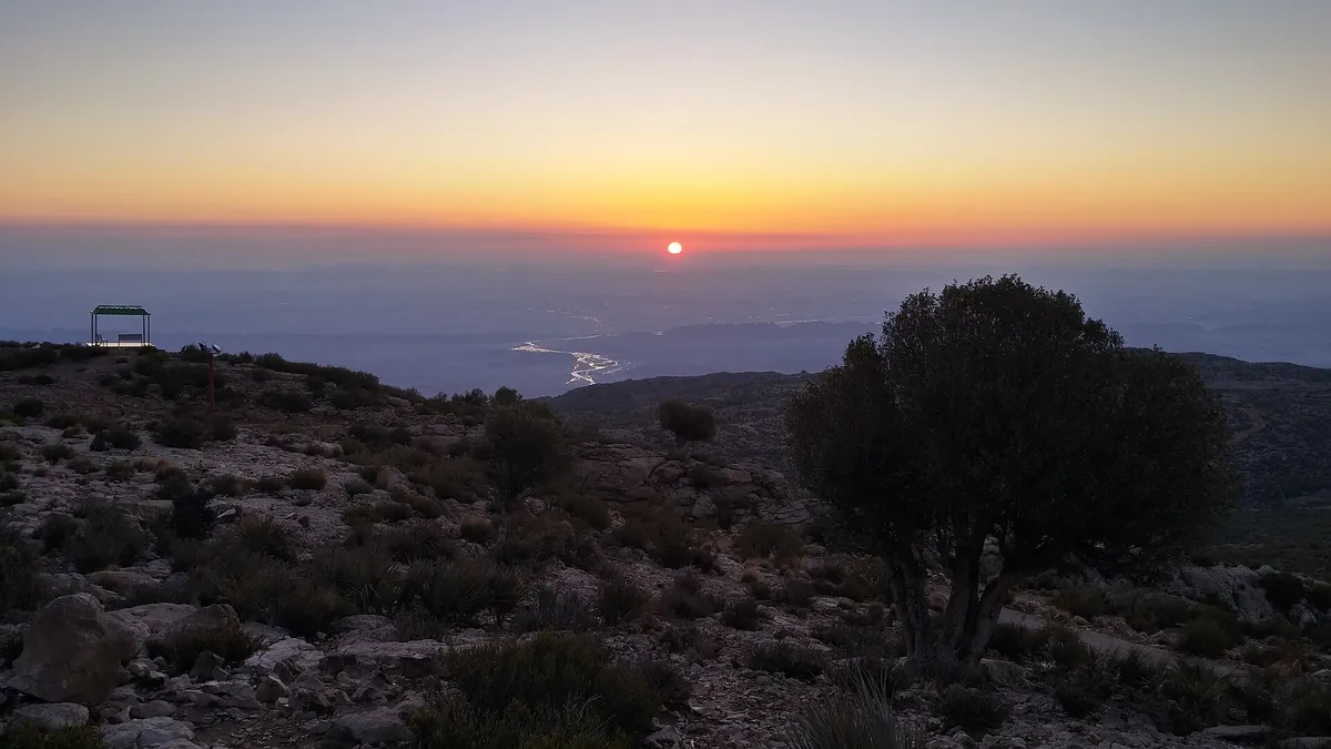
The highest part of the developed area is known as Zero Point. It is also the spot most likely to receive snow. From here and from the nearby Benazir viewpoint, visitors can look out over the valleys towards the plains of Sindh.
On clear mornings the sunrise is the main event. One photographer on Wikimedia Commons notes that the Gaj River and, on very clear days, Manchar Lake can be seen from the peak.
Bonfires, Stargazing and Night Stays
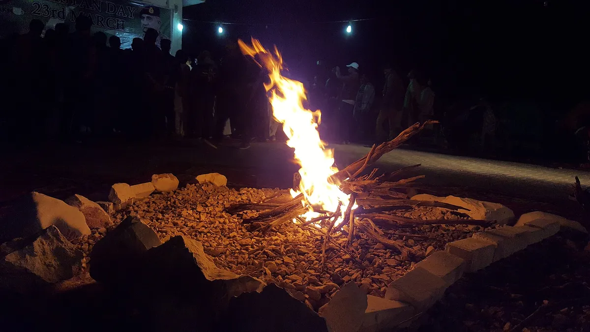
Most visitors stay one night. Evenings centre on bonfires, music and conversation. Youlin Magazine reports a New Year event called the Gorakh Festival, held by local restaurant owners and residents, with around 300 guests.
There are no city lights for a long way in any direction. The 2014 Dawn report spoke of more stars than one could count, and of a silence that covered the hilltop after dark.
Stay, Food and Facilities Available for Visitors
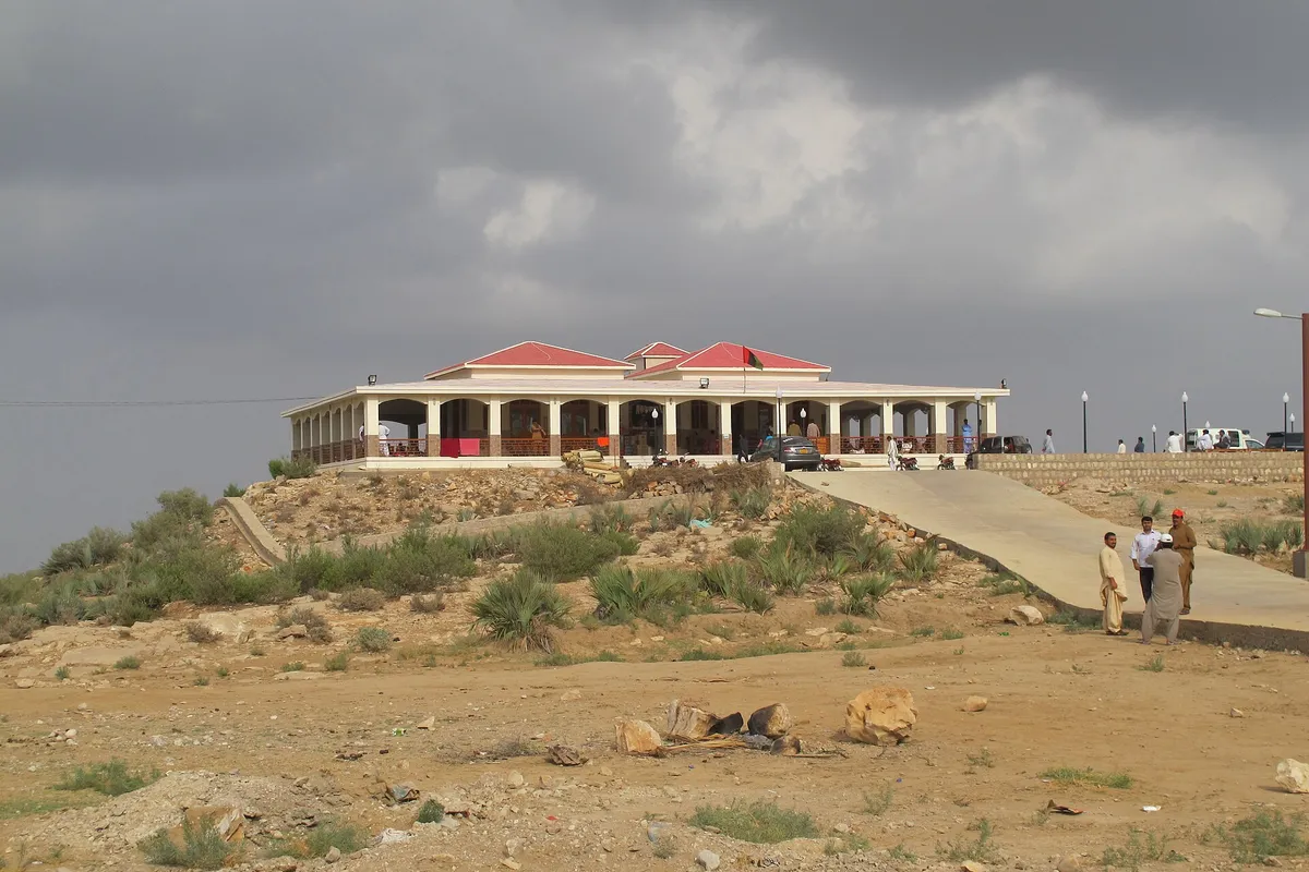
Facilities at Gorakh have grown slowly. In 2014, Dawn found a VIP rest house and a guest house on the summit, with tourist huts and staff quarters still being built. There was no food stall at the time, and the project director suggested that a night stay cost around Rs 15,000.
Audit records from later years list tourist huts, a canteen, a mosque, a water tank, a helipad and electrical work on the hilltop. A 2019 travel account tells of eating breakfast at a hilltop restaurant once the sun was up. Even so, rooms are limited, and on busy weekends some groups camp in the open.
Water supply, power and mobile coverage can be uneven. Do not drive up hoping for a free room. Book first through a tour operator you trust or through the authority.
Best Time to Visit and Practical Travel Advice
Ask three people about the best season and you may get three answers. Each one has a point.
- For cool weather: In 2014, the GHDA project director told Dawn that June and July were the best months. Youlin Magazine also favours summer.
- For clear views: October and November tend to be calm and clear.
- For a chance of snow: Late December to February, though snow is never certain.
Monsoon storms have cut the road before. July and August are a gamble. On a packed weekend one travel company saw well over a thousand people up top. Weekdays are calmer.
A Practical Packing Checklist for Gorakh
- Something warm. Yes, even in June. The wind after dark is sharp.
- Water and food for your whole stay, plus a little extra.
- A torch, a charged power bank and spare cells.
- Your usual medicines and a small first aid kit.
- CNICs for every adult, since police posts on the way may check.
- Fuel. Fill up in Johi, because there is nowhere to buy it higher up.
Got kids or grandparents in the car? Build in plenty of breaks. The jolting is tiring, and there is no doctor on the hill.
Responsible Tourism and the Future of Gorakh
Gorakh reflects the hopes and challenges of Sindh tourism. For millions of people across Karachi, Hyderabad and the river towns it is the closest place with a true mountain climate. While the Sindh Investment Department describes it as a resort site, the same brief also admits there is only a single track road to the top of around 50 km.
The auditors noted that the road should be repaired first, followed by quality hotels and activities. They also highlighted that the constant wind (around 14 miles per hour) could be used to power turbines. However, Sain Bux Brohi, who grazes his goats on the peak, put it more simply to Dawn. In his view the area would develop on its own if the government provided security and maintained law and order.
When visiting you can help by taking your rubbish back down, keeping fires in the stone circles, leaving herders and their animals space and not cutting down any shrubs. It is part of the living culture of Sindh and the people there are your hosts.
If it seems like a long journey to get there, Mehar Jabal close to Karachi is a great half day visit. It is much lower and warmer than Gorakh. However, it still offers some lovely rock formations and views.
Frequently Asked Questions About Gorakh Hill
How high is Gorakh Hill Station?
Around 5,688 ft (1,734 m). You may see higher numbers quoted on some tourism sites, but the audit reports and most newspapers give this figure.
Can an ordinary car reach the top of Gorakh?
It is best not to try. The last 54 km from Wahi Pandhi are very steep and narrow with many blind corners. You may wish to hire a 4×4 with someone who has driven there before.
Does it snow at Gorakh Hill every year?
No. It gets frost regularly but snow is a rare treat. Papers have reported snowfall in 2012, 2023 and 2026. There were dry winters in between.
Which authority manages Gorakh Hill Station?
The Gorakh Hills Development Authority. It started through an ordinance in 1995 but became a statutory body in 2008 through an act of the Sindh Assembly.
Is Gorakh Hill Station suitable for a day trip?
Not if you are coming from Karachi. You’ll be in the car for sixteen hours and won’t get to see the top in daylight. If you are coming from Dadu or Sehwan it can be a long day, but if the weather holds it can work. However, a night there is much better.
References and Further Reading
- Auditor General of Pakistan, Special Audit Report on the Accounts of Gorakh Hills Development Authority.
- Auditor General of Pakistan, Special Study Report on Resource Utilization and Development of Infrastructure, GHDA.
- Qurban Ali Khushik, Gorakh hills receive season’s first snowfall, but remain inaccessible, Dawn, 19 December 2012.
- Qasim A. Moini, Silence on Gorakh Hill, Dawn, 2 March 2014.
- Gorakh Hills Station receives first snowfall after two years, The Nation, 22 January 2023.
- Rare snowfall reported at Gorakh Hill after 13 years, Aaj News, 27 January 2026.
- Sindh Tourism Development Corporation, Gorakh Hill.
- Sindh Investment Department, Gorakh Hills Resort Development Project.
- Dr. Saba Noor, Gorakh Hill Station, The Murree of Sindh, Youlin Magazine, 10 March 2022.
- Pakistan High Commission in Sri Lanka, Gorakh Hills, Dadu, 2018.
- Kirthar Mountains and Kirthar National Park, Wikipedia.
All photographs come from Wikimedia Commons. The photographer and licence for each image are named in its caption.

Leave a Comment